Gervais Creek

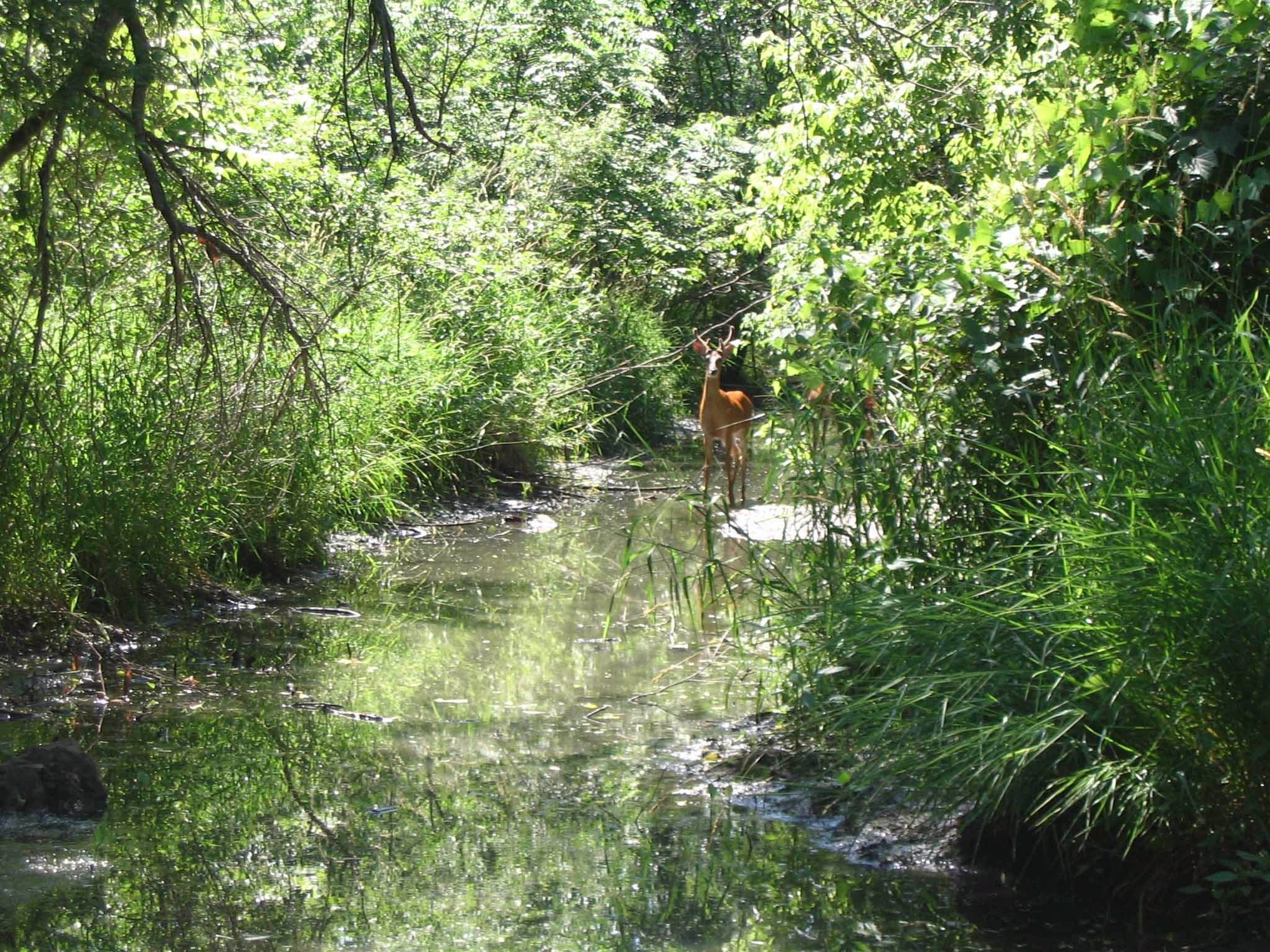
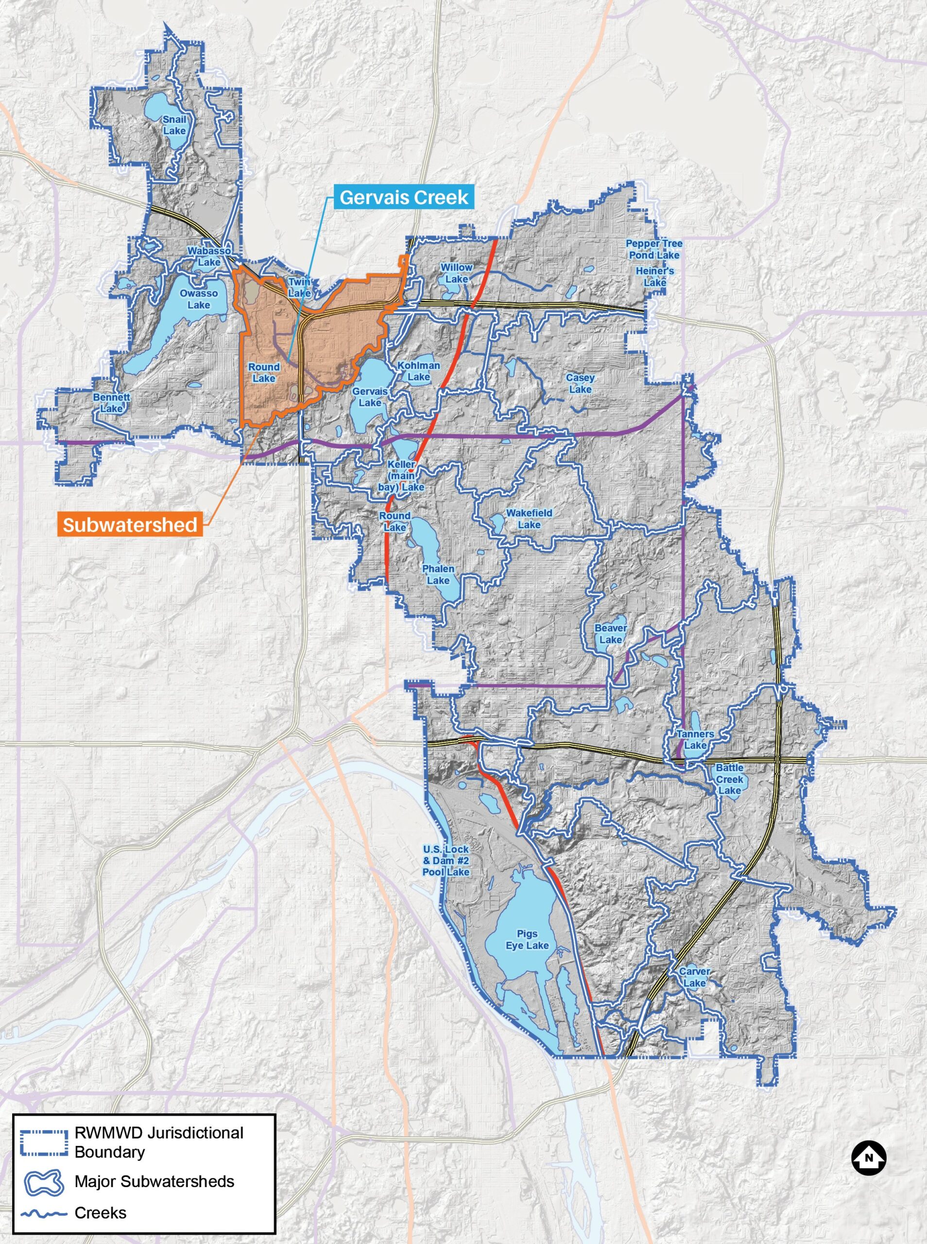
Gervais Creek is an intermittent stream that was previously managed as a county ditch (County Ditch 16). It originally extended north to Twin Lake, but now is cut off by I‑694 and no longer exists north of the interstate. The county ditch system was historically managed by Ramsey County as a stormwater conveyance system, and Gervais Creek continues to be managed by the District as a stormwater system.
Creek facts
- Tributary area: 1,847 acres
- Creek length: 2.2 miles
- Downstream waterbody: Gervais Lake
- Accountable municipalities: Little Canada, Vadnais Heights, Ramsey County
- Nutrient water quality classification: At risk
Water Quality
The District installed a water quality monitoring station on Gervais Creek in 2007. The station allows us to continuously monitor flows of Gervais Creek into the Phalen Chain of Lakes. Monitoring also allows us to evaluate the effectiveness of District and city stormwater management programs and projects. The station collects year‑round water quality and flow rate samples and data. Biological monitoring of the creek was performed by the Minnesota Department of Natural Resources in 1999 and the Minnesota Pollution Control Agency (MPCA) in 2010. Recent monitoring data indicates the creek likely exceeds the MPCA’s stream water quality standard for total phosphorus, although the it is not listed as impaired for nutrients. Thus, the District has assigned Gervais Creek a nutrient water quality classification of “At Risk.”
Past Projects
 Gervais Creek
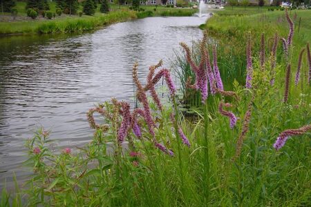
Lakeside Pond Buffer
Blue flag iris provides a lovely solution to pollutants and excessive geese.
 Gervais Creek
Marketplace Pond Buffer
Marketplace Pond is an oasis of prairie in the midst of a suburban shopping district.
 Bennett Lake
Roseville Area Middle School
This rain garden filters parking lot runoff to protect water quality in Bennett Lake.
