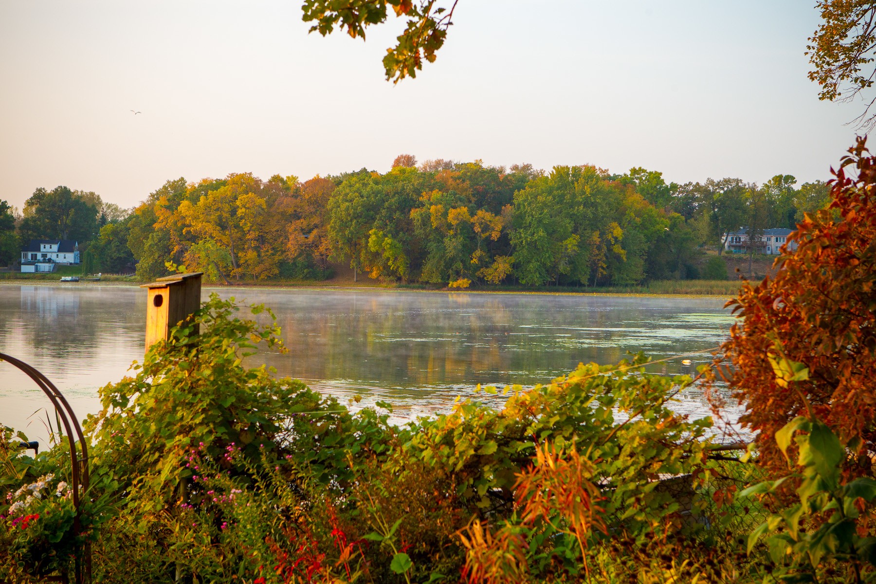
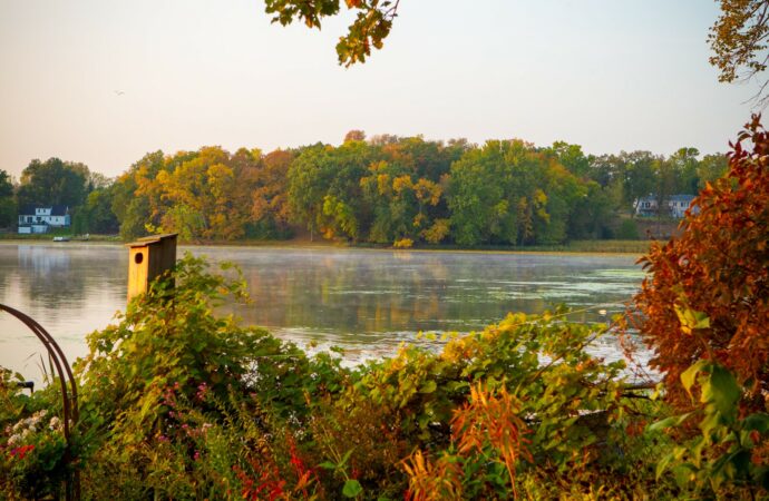
Kohlman Lake

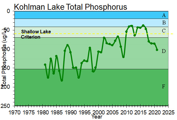
A 84-acre shallow lake that has improved in water quality over the last decade.
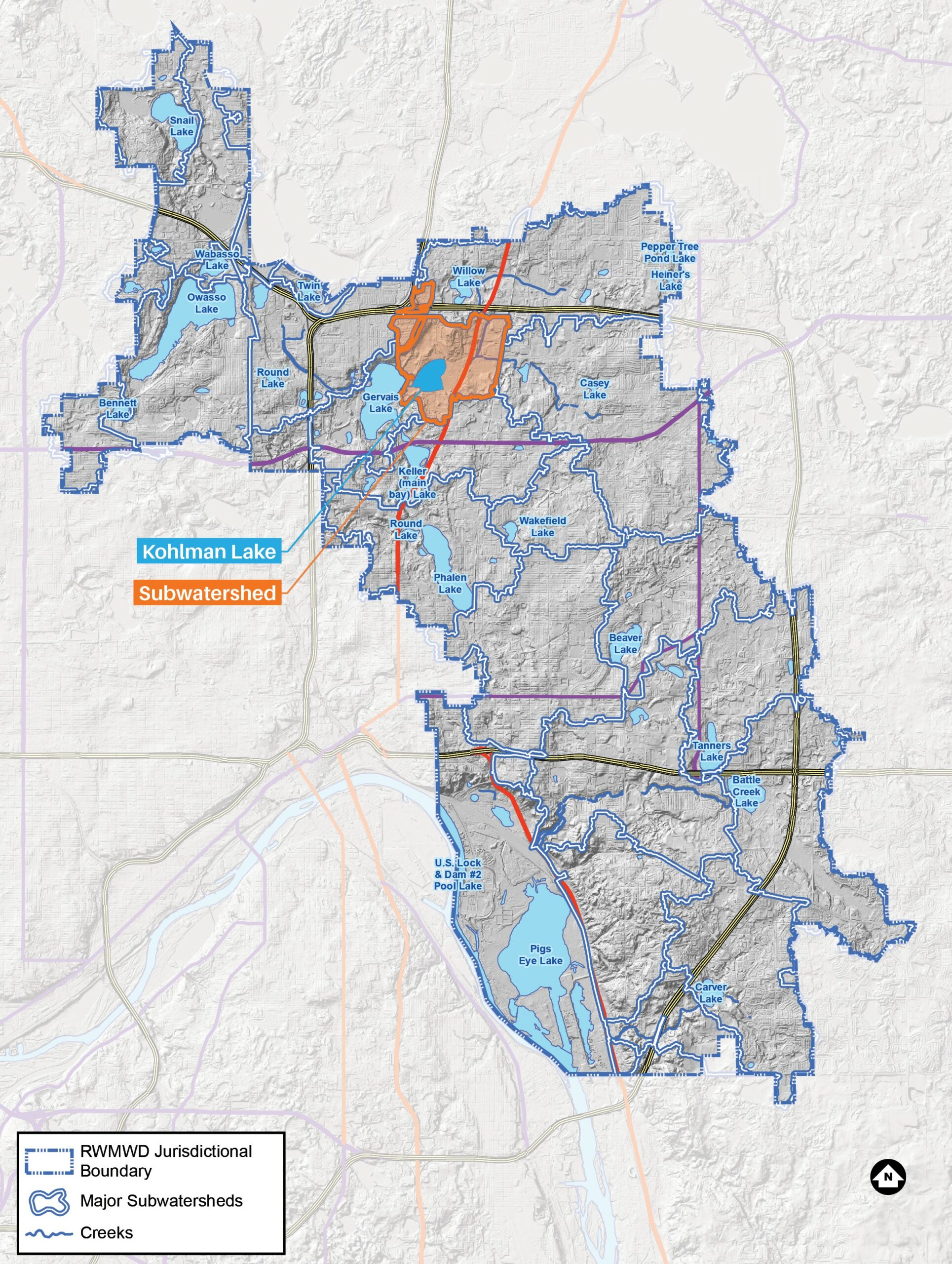
Kohlman Lake is the first lake in the Phalen Chain of Lakes and is used for a variety of recreational purposes, including motor-boating, canoeing, fishing, picnicking, wildlife habitat and viewing. There is no direct public boat access to Kohlman Lake, although the lake can be accessed via Gervais Lake. While the drainage area that directly reaches the lake is just over 1,000 acres, the total area connected to the lake through Kohlman and Willow Creeks is about 7,500 acres.
Lake facts
- Tributary area: 1,009 acres
- Downstream waterbody: Gervais Lake
- DNR code: 62‑0006P (click for LakeFinder data)
- Surface area: 84 acres
- Average depth: 4 feet
- Maximum depth: 12 feet
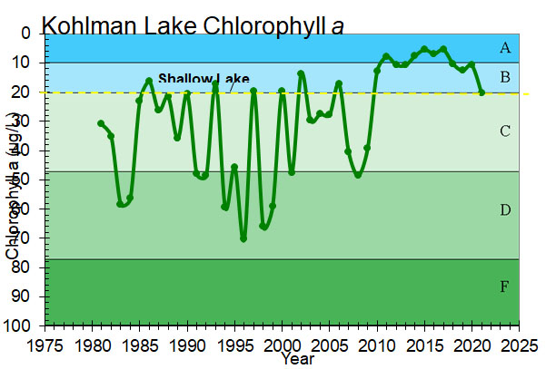
- MPCA designations: Shallow lake; impaired for excess nutrients and chloride
- Accountable municipalities: Little Canada, Maplewood, Vadnais Heights, Ramsey County
- Nutrient water quality classification: Impaired
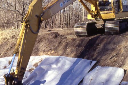
Past Projects
 Kohlman Lake
Kohlman Basin
This wetland system cleans storm water flowing to the Phalen Chain of Lakes.

 Gervais Lake, Keller Lake, Kohlman Lake, Lake Phalen
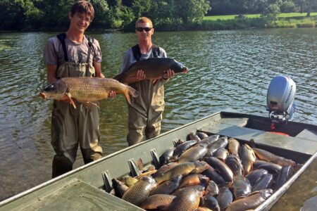
Lake Phalen Chain Carp Management
The Phalen Chain of Lakes: Groundbreaking carp research and effective management through a partnership with the University of Minnesota
 Kohlman Creek
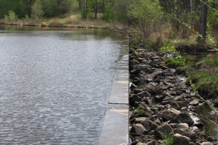
Kohlman Creek Bank Stabilization
This creek stabilization protects Kohlman Basin wetland and Kohlman Lake.