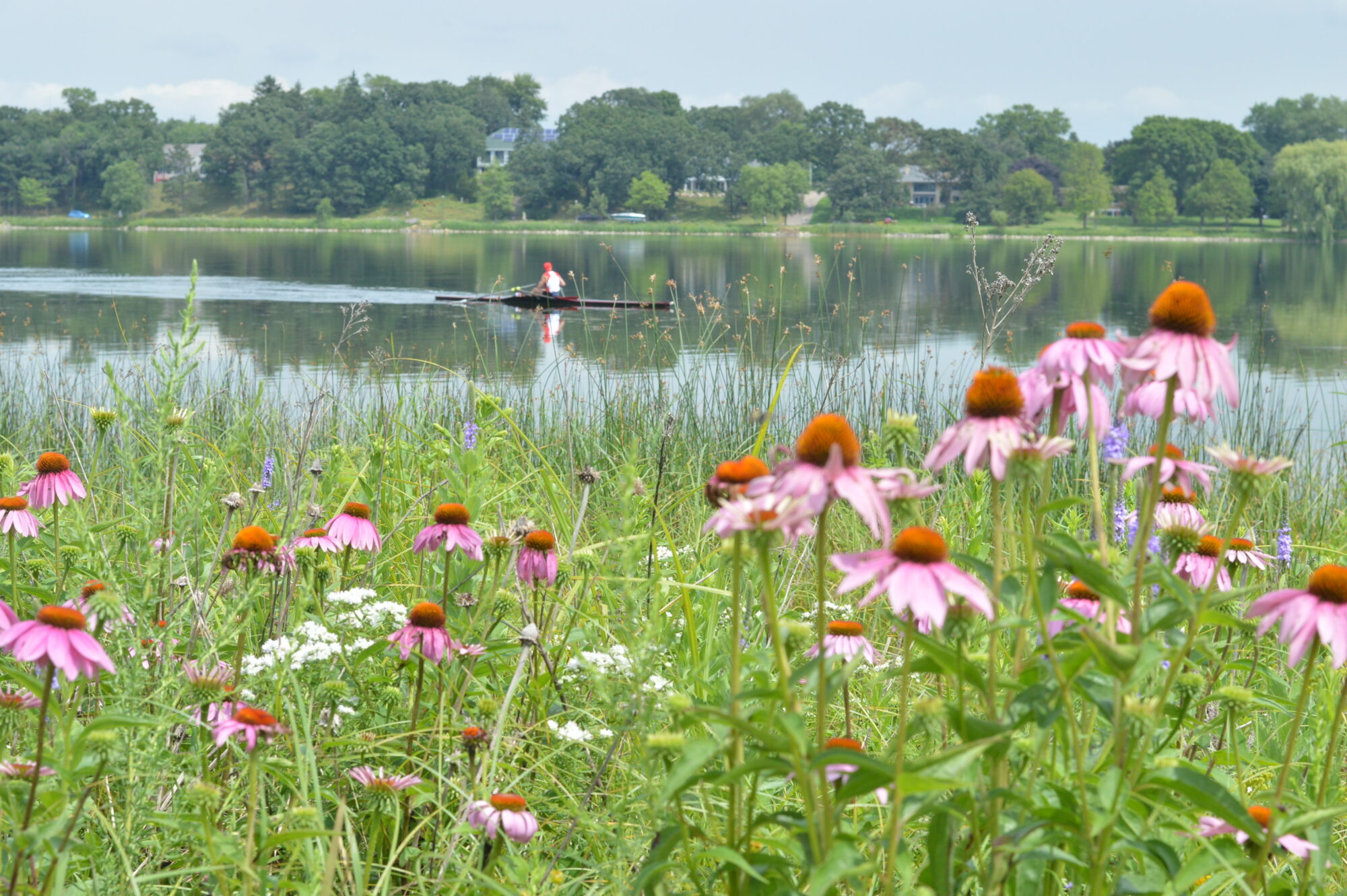
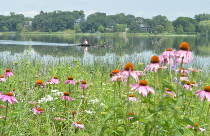
Lake Phalen

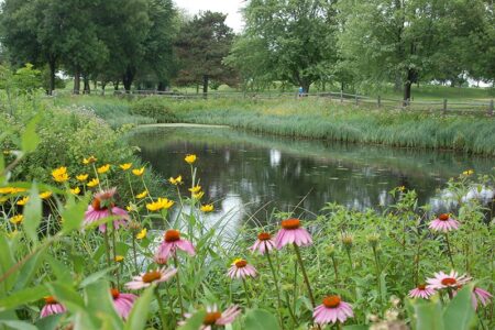
The regional park surrounding this lake has over two miles of restored shoreline.
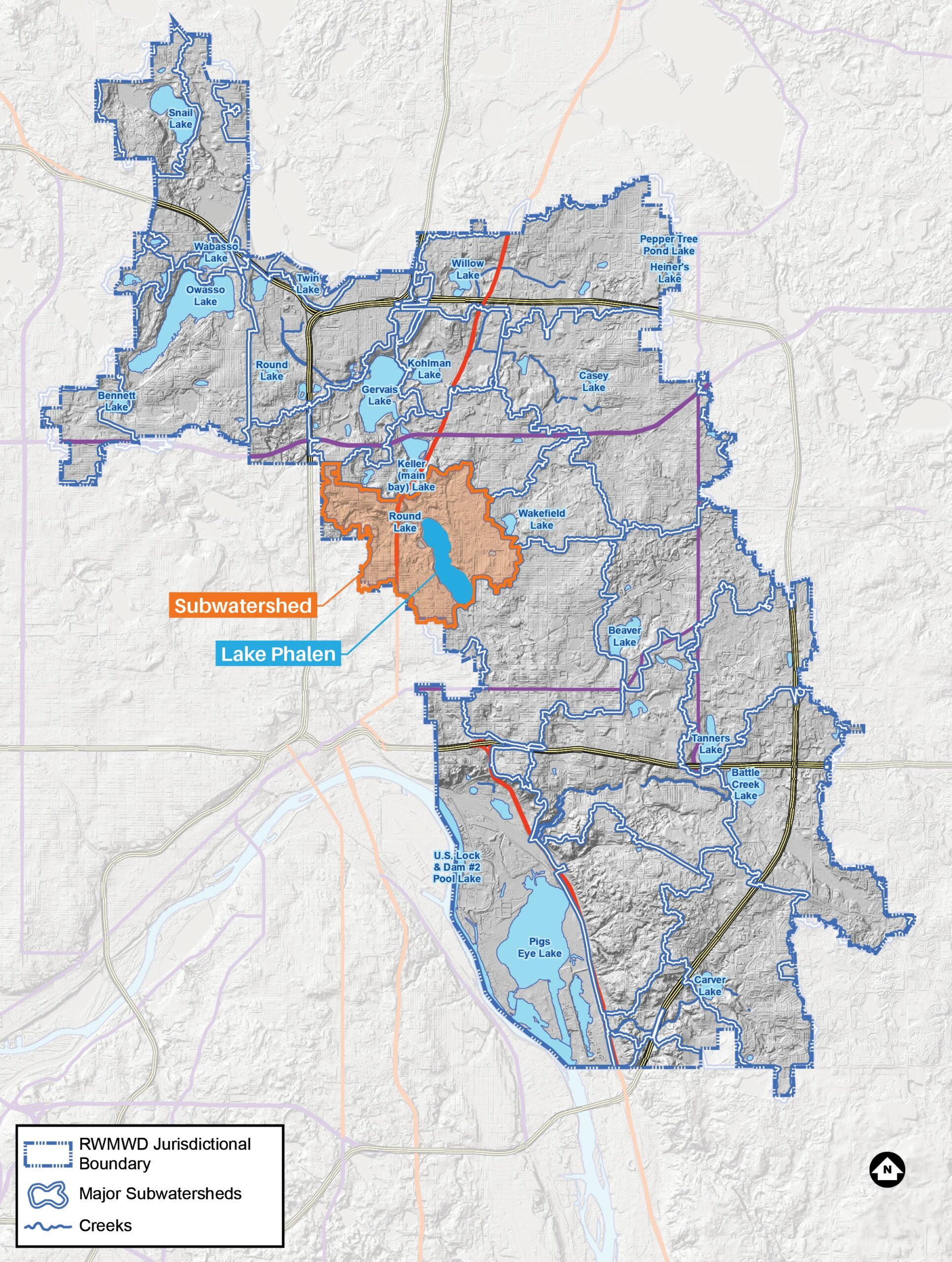
Lake Phalen is the farthest downstream lake in the Phalen Chain of Lakes. The lake is used primarily for recreational activities such as swimming, fishing, paddling, picnicking and viewing. Lake Phalen is surrounded by parkland managed by the City of St. Paul. The lake has public boating access and a swimming beach. While the direct tributary area to the lake is close to 2,000 acres, the total land area that ultimately drains through Lake Phalen is closer to 15,000 acres including the Keller Lake and Wakefield Lake sub-watersheds.
Lake facts
- Tributary area: 1,995 acres
- Downstream waterbody: Mississippi River via the Beltline Interceptor storm sewer
- DNR code: 62‑0013P (click for LakeFinder data)
- Surface area: 200 acres
- Average depth: 22 feet
- Maximum depth: 95 feet
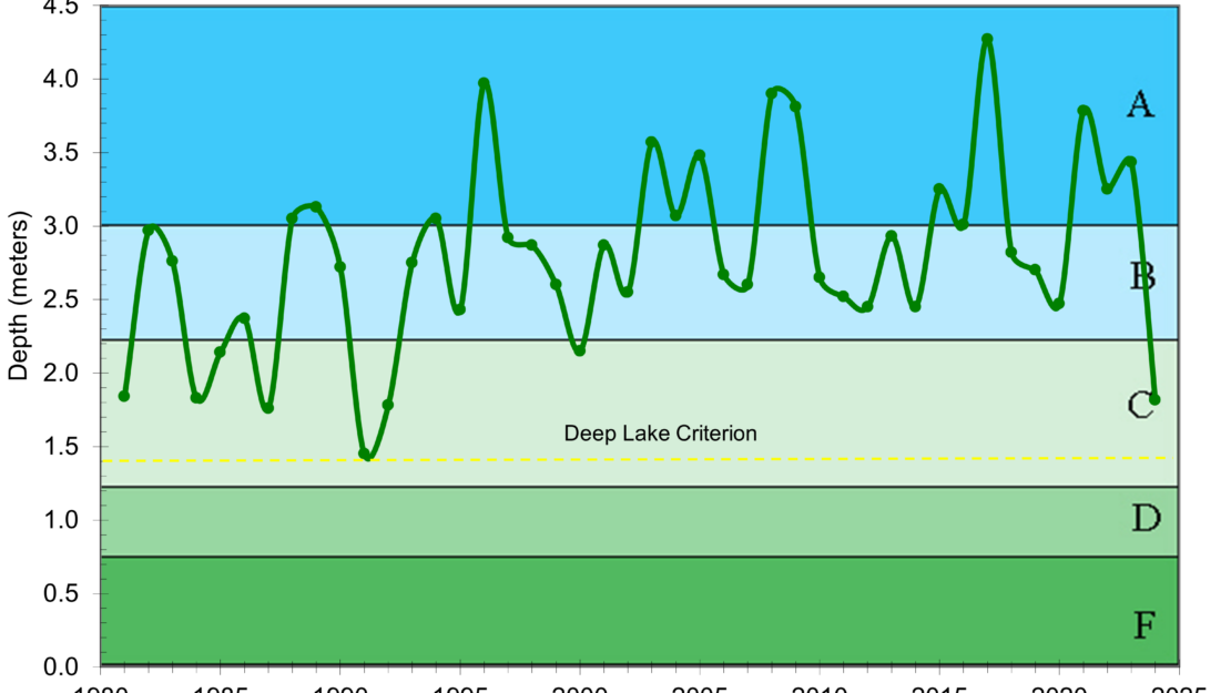
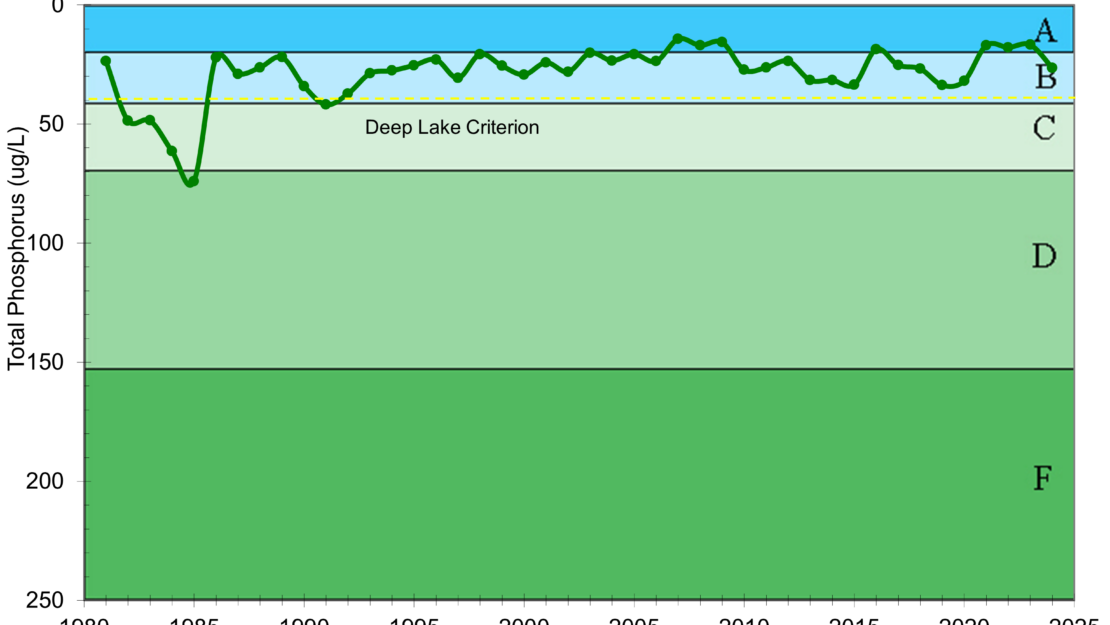
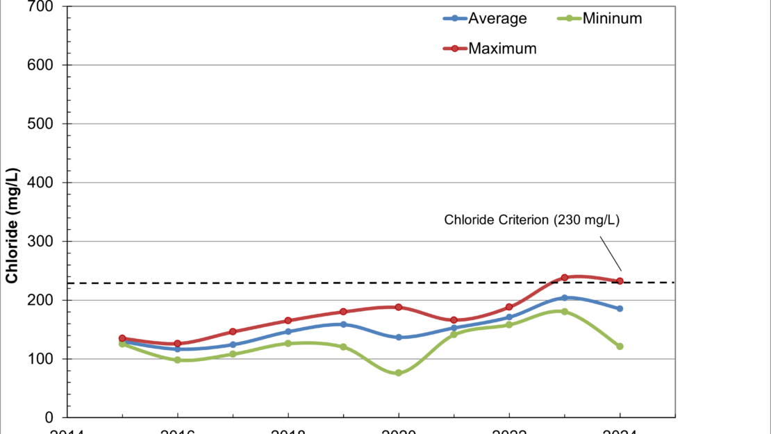
- MPCA designations: Deep lake; impaired for mercury
- Accountable municipalities: Maplewood, St. Paul, Ramsey County
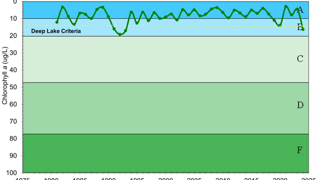
- Nutrient water quality classification: Stable
Past Projects
 Lake Phalen
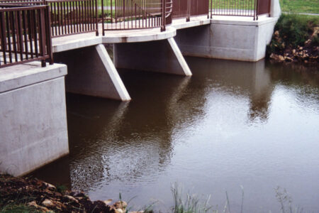
Phalen Chain of Lakes Outlet
This outlet Increases the flow capacity of Lake Phalen reduced flooding upstream.
 Lake Phalen
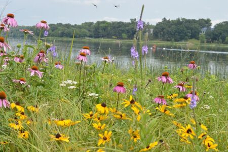
Lake Phalen Shoreline
From rocks to richness, a story of success and conservation at Lake Phalen.
 Lake Phalen
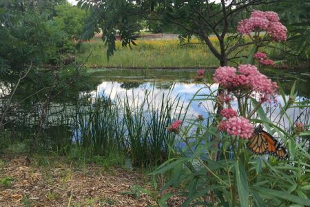
Keller Creek Buffer
This wildlife and recreational corridor connects Keller and Phalen regional parks.
 Lake Phalen
Keller Golf Course
A strong partnership makes Keller Golf Course an award-winning ecological preserve.
 Gervais Lake, Keller Lake, Kohlman Lake, Lake Phalen
Lake Phalen Chain Carp Management
The Phalen Chain of Lakes: Groundbreaking carp research and effective management through a partnership with the University of Minnesota