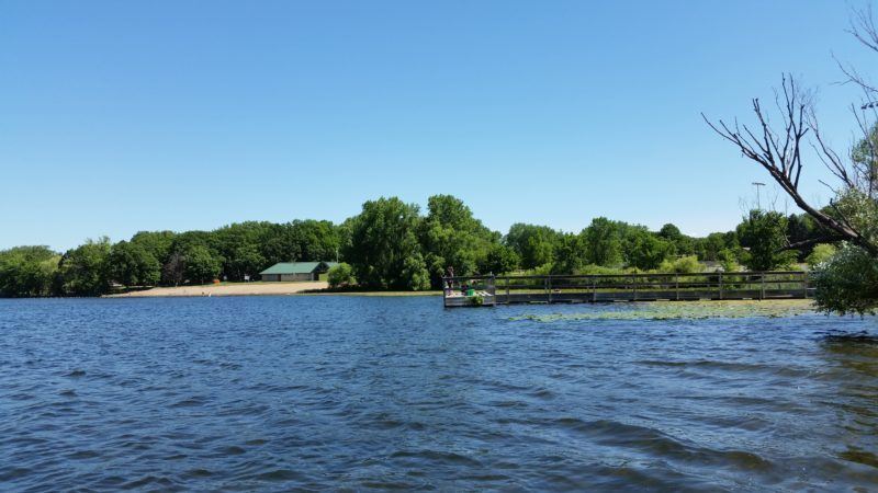
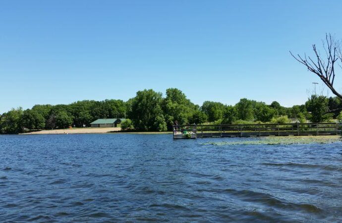
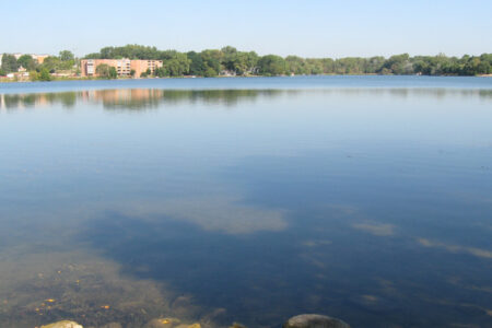
Tanners Lake

This 74-acre lake is known for high water quality and recreational opportunities.
Tanners Lake is located almost entirely within the cities of Oakdale and Landfall. It discharges into Battle Creek Lake in Woodbury, which serves as the headwaters for Battle Creek, a tributary of the Mississippi River. Tanners Lake is used primarily for recreational uses such as swimming, skiing, and motor‑boating, as well as fishing, canoeing, picnicking, viewing and limited wildlife habitat. Tanners Lake Park, owned and operated by the City of Oakdale, is located on the east shore of the lake. The park includes a beach for swimming, as well as a boat access for fishing. Facilities are also present for sporting activities, including softball and volleyball.
Lake facts
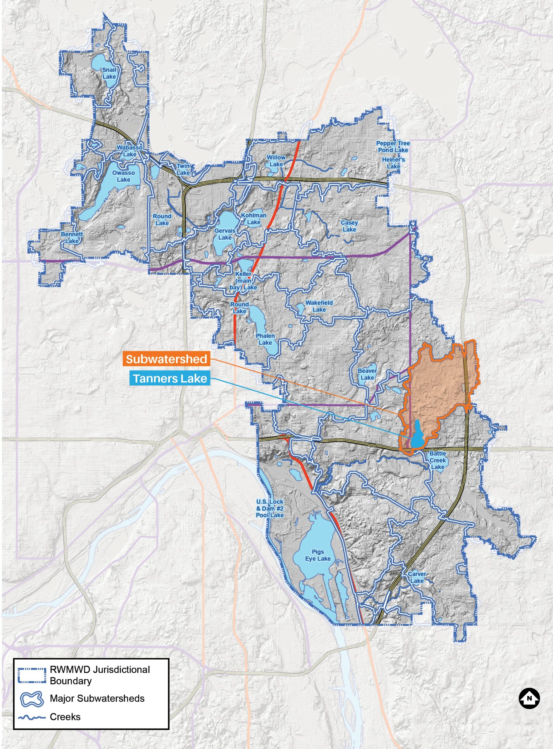
- Tributary area: 1,707 acres
- Downstream waterbody: Battle Creek Lake
- DNR code: 82‑0115P (click for LakeFinder data)
- Surface area: 74 acres
- Average depth: 20 feet
- Maximum depth: 46 feet
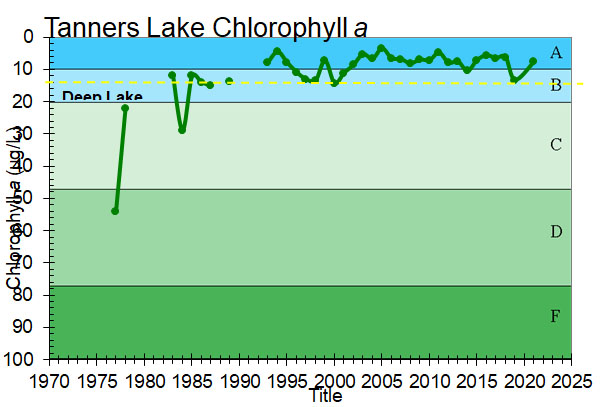
- MPCA designations: Deep lake; impaired for mercury and chloride
- Accountable municipalities: Landfall, Maplewood, Oakdale, Woodbury, Ramsey County, Washington County
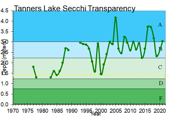
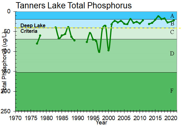
- Nutrient water quality classification: Stable
Past Projects
 Tanners Lake
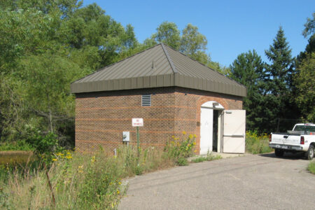
Tanners Lake Alum Treatment Facility
A unique treatment facility to remove phosphorus from stormwater.
 Tanners Lake
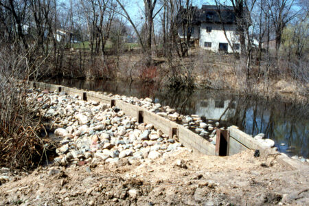
Tanners Lake 5th Street Basin
A wetland modification to help improve the water quality of Tanners Lake.
 Tanners Lake
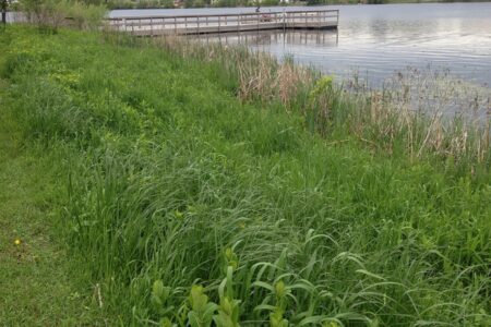
Tanners Lake Berm
A berm along Tanners Lake helps with flood water retention and water quality.
 Tanners Lake
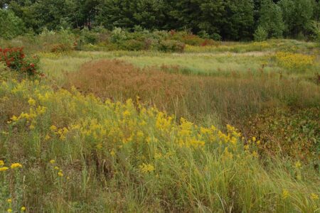
Tanners Lake Tartan High School Pond
A high quality wetland constructed to treat water before reaching Tanners lake.
 Tanners Lake
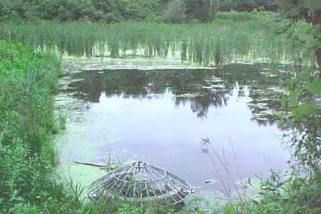
Tanners Lake Wetland
Modifications to a nearby wetland help bring cleaner water to Tanners Lake.