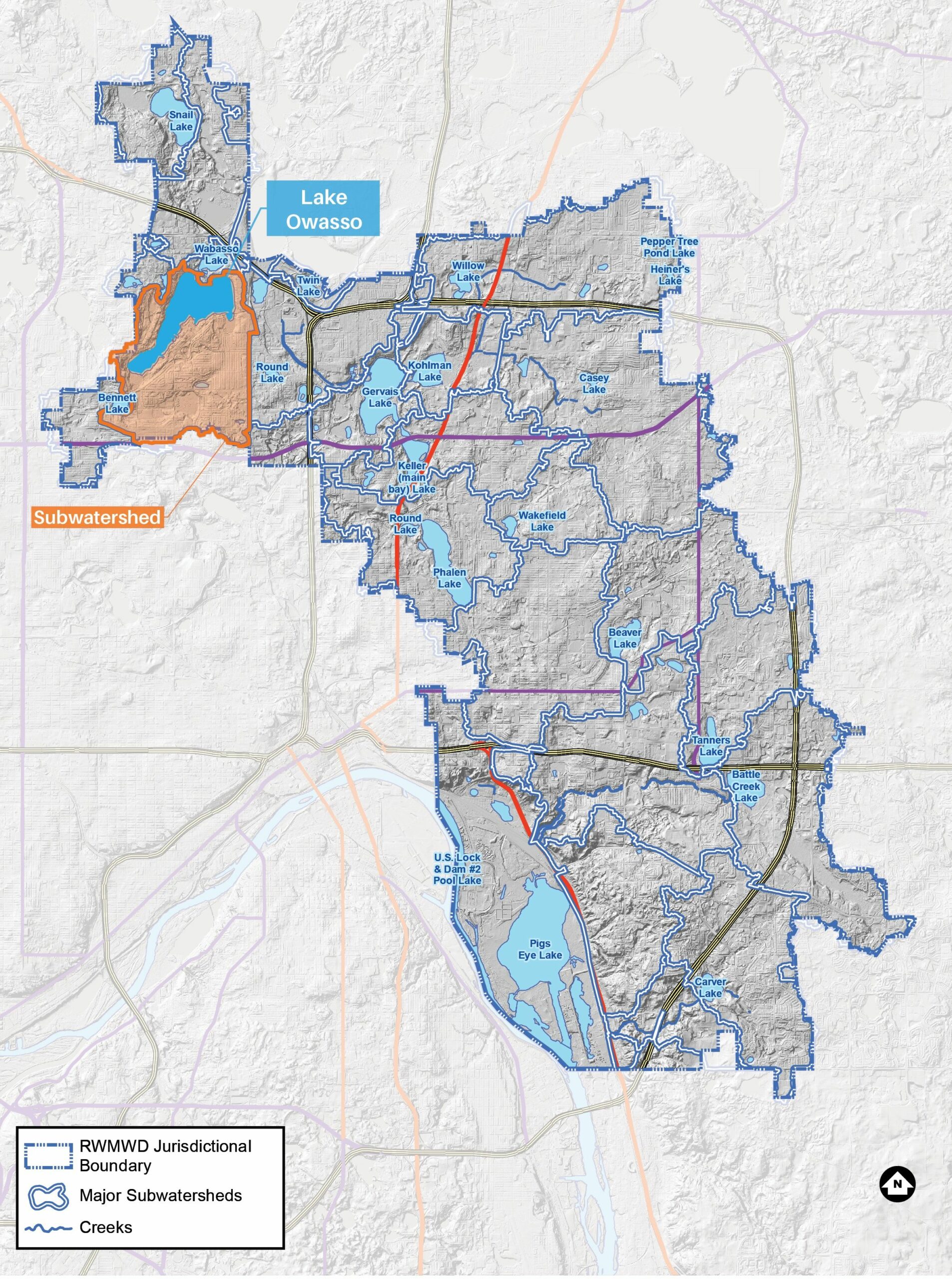
Lake Owasso

This largest lake in the watershed is used for a variety of recreational activities.
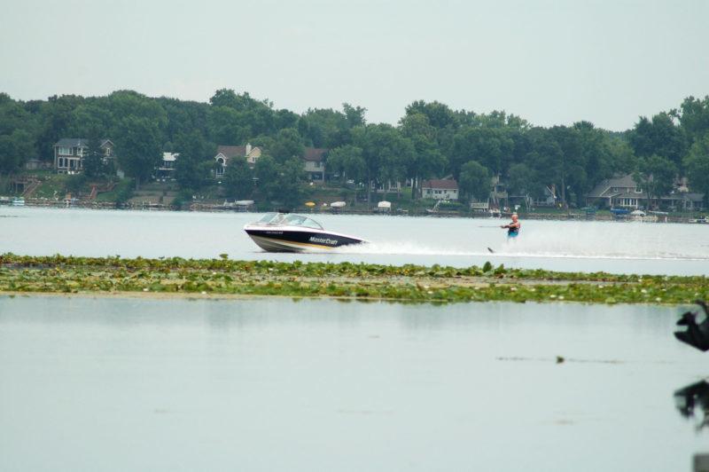
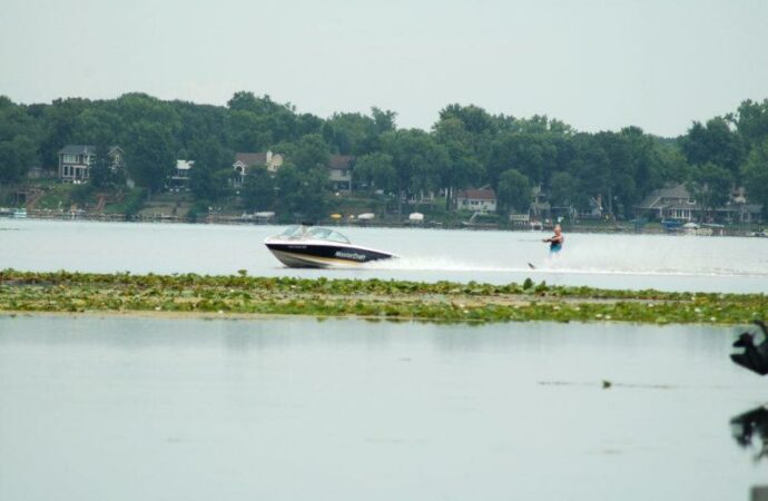
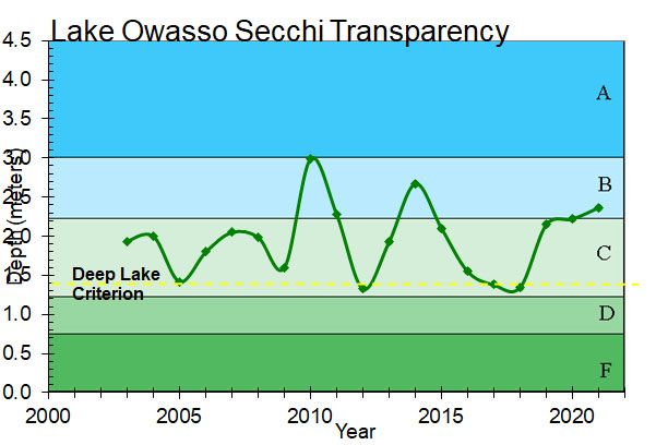
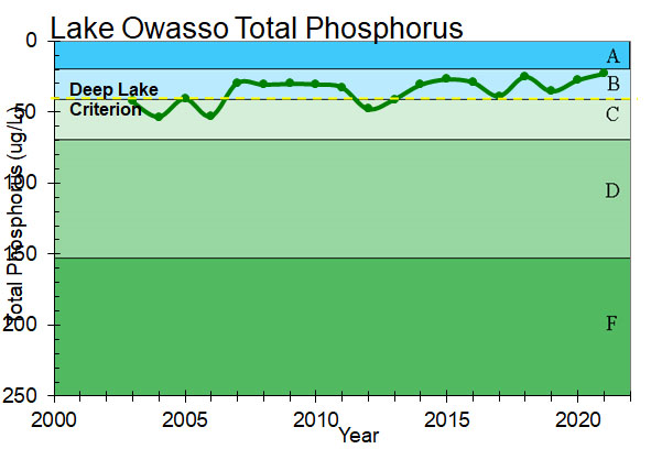
Lake Owasso is major regional recreational resource used for fishing, boating, waterskiing and swimming. Roseville’s Central Park North (along the south shore of the lake) and Owasso County Park in the city of Shoreview (on the north side) provide two public access points including a boat launch and a public swimming beach. Lake Owasso receives water from Bennett Lake and Lake Emily.
Lake facts
- Tributary area: 2,175 acres
- Downstream waterbody: Lake Wabasso
- DNR code: 62‑0056P (click for LakeFinder data)
- Surface area: 375 acres
- Average depth: 11 feet
- Maximum depth: 37 feet
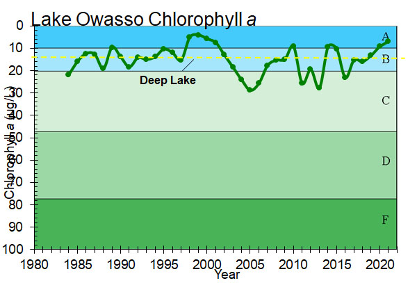
- MPCA designations: Deep lake; impaired for mercury
- Accountable municipalities: Roseville, Shoreview, Ramsey County
- Nutrient water quality classification: At risk
Past Projects
 Bennett Lake
North Heights Christian Academy
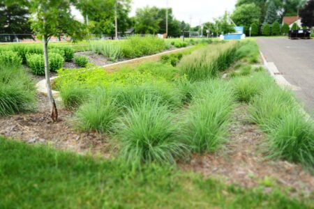
A rain garden filters runoff from the church parking lot.
 Bennett Lake
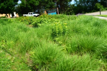
Prince of Peace Lutheran Church
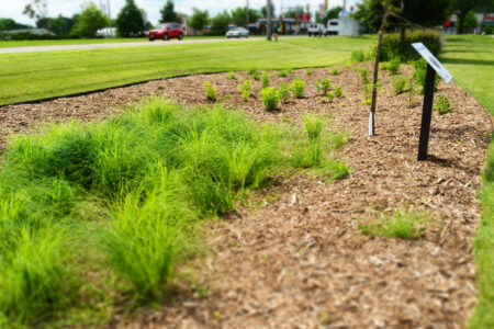
Two rain gardens filter runoff from the church parking lot.
 Bennett Lake, Lake Owasso, Lake Wabasso
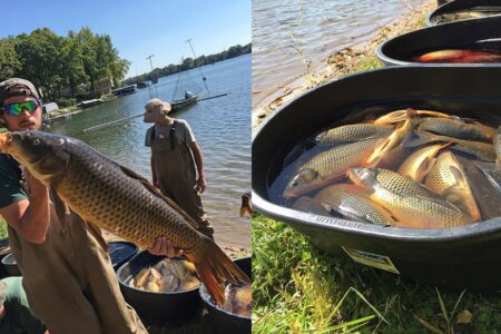
Lake Owasso Chain Carp Management
The Owasso Chain of Lakes: Reducing the carp population to improve water quality