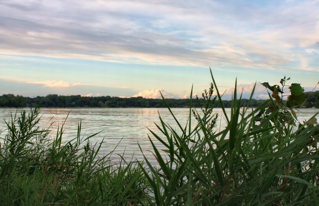
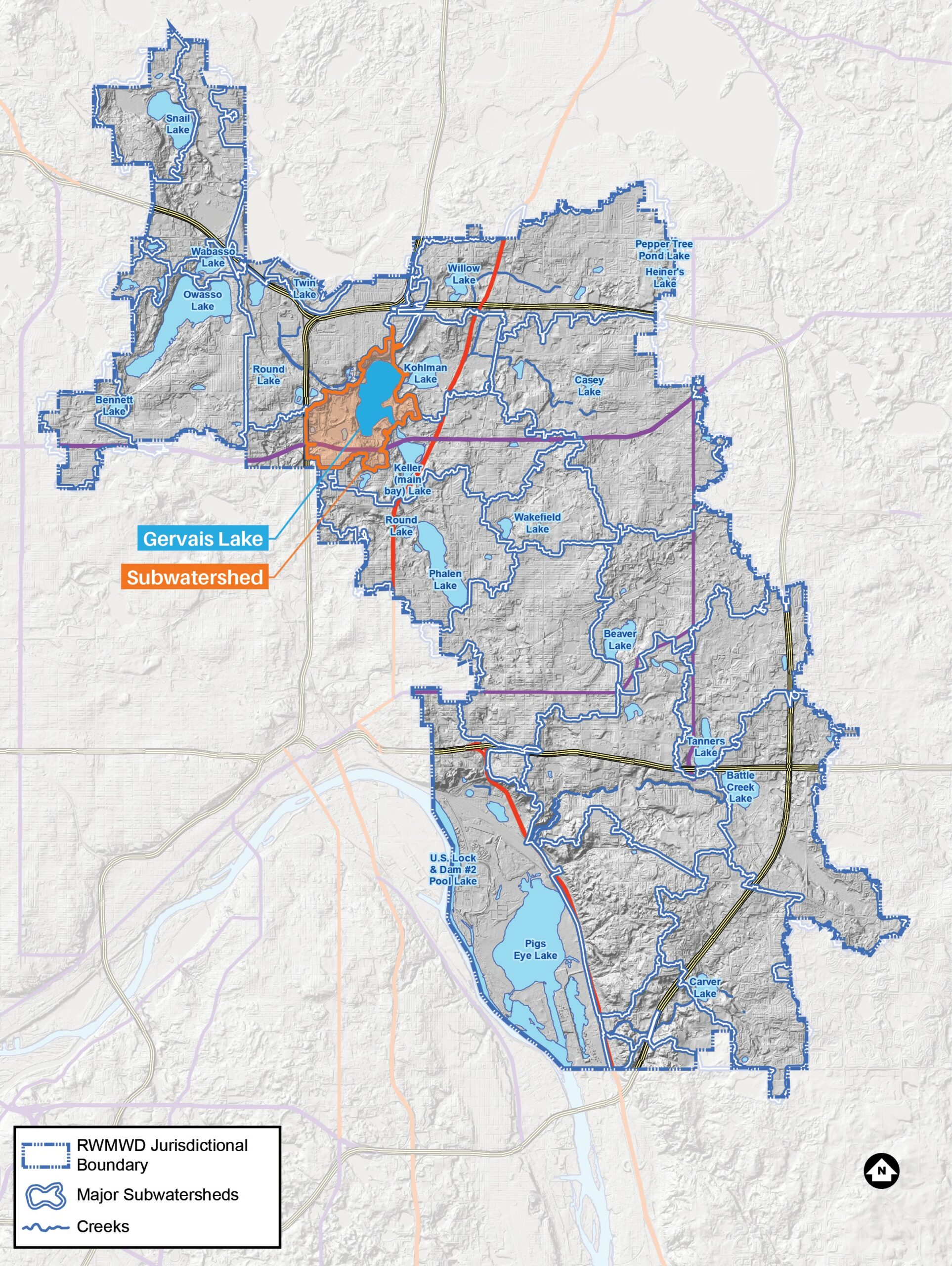
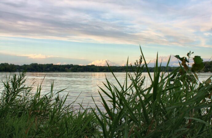
Gervais Lake

The largest lake in the Phalen Chain, popular with anglers and boaters.
Gervais Lake is the second lake in the Phalen Chain of Lakes and is used for a variety of recreational purposes, including swimming, skiing and boating. There is a public boat access from Spoon Lake and a Ramsey County Parks swimming beach and park adjacent to the lake. The lake receives flows from Gervais Creek, Kohlman Lake and runoff from its direct tributary area.
Lake facts
- Tributary area: 893 acres
- Downstream waterbody: Keller Lake
- DNR code: 62‑0007P (click for LakeFinder data)
- Surface area: 234 acres
- Average depth: 22 feet
- Maximum depth: 41 feet
- MPCA designations: Deep lake; impaired for mercury; at risk for chloride
- Accountable municipalities: Little Canada, Maplewood, Ramsey County
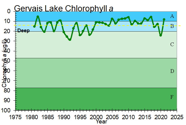
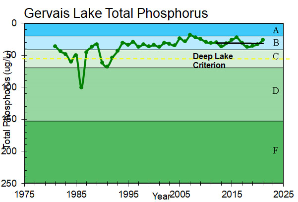
- Nutrient water quality classification: Stable
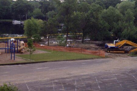
Past projects
 Gervais Lake, Keller Lake, Kohlman Lake, Lake Phalen
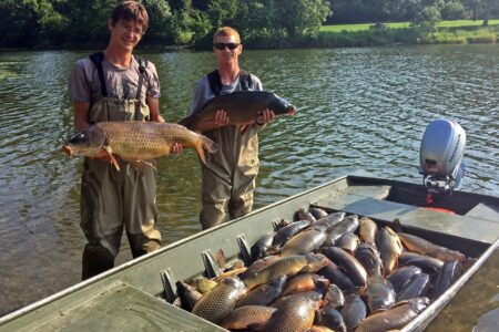
Lake Phalen Chain Carp Management
The Phalen Chain of Lakes: Groundbreaking carp research and effective management through a partnership with the University of Minnesota